

Key Takeaways
What Is the American Southwest?
The American Southwest has no single official boundary, but in travel terms it most commonly refers to Arizona, New Mexico, Utah, and Nevada — with parts of Colorado and West Texas included depending on context. What unites this territory is less political geography than shared character: high desert plateaus, canyon-carved river systems, extreme seasonal temperatures, and a cultural layering that runs from ancient Puebloan settlements through Spanish colonial towns to mid-century modern cities.
Unlike the Pacific Northwest, which is shaped largely by moisture and forest, the Southwest is defined by the absence of water — and by everything that scarcity has produced over millions of years: slot canyons, hoodoos, alkali flats, and some of the most dramatic rock formations on Earth.
The Landscape: Plateaus, Deserts, and Basins
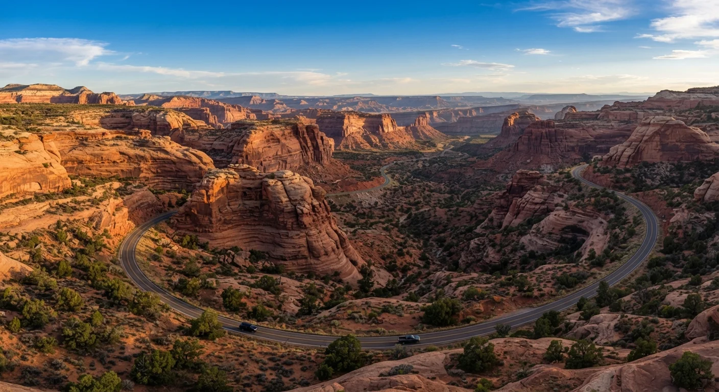
Two geological provinces divide the region. The Colorado Plateau covers roughly 130,000 square miles across the Four Corners area (where Arizona, Utah, Colorado, and New Mexico meet). This elevated tableland — averaging 5,000 to 6,000 feet above sea level — is where most of the region's iconic canyon scenery lives: the Grand Canyon, Bryce Canyon, Zion, Canyonlands, Monument Valley, and Arches are all plateau landscapes.
South and west of the plateau lies the Basin and Range province, a system of fault-dropped valleys between mountain ranges. The Sonoran Desert (covering southern Arizona and northwestern Mexico) sits within this zone, as do cities like Phoenix, Tucson, and Las Vegas. The Chihuahuan Desert extends into southern New Mexico and West Texas.
130,000 sq mi
Area of the Colorado Plateau
The Colorado Plateau spans portions of Utah, Arizona, Colorado, and New Mexico, forming the core of Southwest canyon country.
17.5M acres
Navajo Nation land area
The Navajo Nation is the largest federally recognized tribal nation by land area in the United States, spanning parts of three states.
110°F+
Phoenix summer high temperatures
Phoenix, Arizona regularly records temperatures above 110°F during July and August, among the highest of any major US city.
These two provinces feel and behave differently. Plateau country is often cooler, with more dramatic relief and distinct seasons. Basin and Range deserts run hotter at lower elevations and receive less precipitation overall.
Climate and When to Visit
The Southwest's climate reputation for heat is accurate but incomplete. Temperatures vary enormously by elevation. Sedona, Arizona sits at roughly 4,500 feet; Flagstaff, just 30 miles north, sits at 7,000 feet and regularly receives winter snow. The canyon rims at Grand Canyon's South Rim are cooler than the Colorado River at the canyon's base by 20–25°F.
Best Seasons for Most Travelers
Mid-March through May and late September through early November offer the most reliably comfortable conditions across the majority of Southwest destinations. If visiting in summer, plan canyon hikes for before 9 a.m. and save the afternoon for higher-elevation areas or air-conditioned museums and cultural sites.
Spring (March–May) and autumn (September–November) are widely considered the most comfortable windows across the region. Summer brings extreme heat at low elevations — Phoenix regularly exceeds 110°F in July — and the monsoon season (roughly July through September) delivers intense afternoon thunderstorms that can trigger dangerous flash floods in canyon areas with little warning. Winter travel to higher elevations requires preparation for cold and snow, though desert towns like Tucson and Sedona remain mild.
Indigenous Heritage and Living Cultures
The Southwest is home to dozens of federally recognized tribal nations, including the Navajo Nation (the largest in the US by land area), the Hopi, Zuni, and various Apache and Pueblo peoples. Their presence here is not historical background — it is current reality. The Navajo Nation administers Monument Valley Navajo Tribal Park; Acoma Pueblo in New Mexico has been continuously inhabited for over 800 years; Hopi villages on the mesas of northern Arizona maintain governance, language, and ceremony largely outside the tourism economy.
Respect Tribal Land Rules and Sovereignty
Visiting sites on tribal lands means operating under tribal jurisdiction, not National Park Service rules. Photography bans, permit requirements, and access restrictions exist for cultural and legal reasons. Always consult the specific tribe's official visitor guidelines before your trip, and follow posted rules without exception. Violations can result in removal from tribal land and, in some cases, fines.
Many sites associated with these nations carry specific visitor rules: photography restrictions, permit requirements, and off-limits ceremonial areas. Checking directly with tribal tourism offices before visiting is not a courtesy — it is a requirement. Ignoring posted restrictions is both disrespectful and in many cases a legal violation on sovereign land.
When planning a Southwest road trip, anchor your itinerary around two or three geographic hubs rather than trying to visit every landmark. Each hub — Flagstaff, Moab, Santa Fe — places you within striking distance of multiple sites without constant long-haul driving.
The region's distances are frequently underestimated, and overloaded itineraries are the most common reason visitors feel they didn't fully experience the places they drove past.
Book accommodation in gateway towns like Springdale (Zion), Moab (Arches/Canyonlands), and Kanab (Grand Canyon North Rim) as early as possible — ideally four to six months out for spring and fall travel.
These towns have limited lodging inventory relative to park visitation, and last-minute availability often evaporates entirely during peak season.
Major Destinations and How They Connect
Distance is the first thing most first-time visitors underestimate. Las Vegas to the Grand Canyon's South Rim is roughly 280 miles. The South Rim to Zion National Park in Utah is about 175 miles. Zion to Bryce Canyon is another 85 miles. Monument Valley sits three hours east of Page, Arizona. These are real driving distances across high desert, not leisurely afternoon loops.
A useful mental framework: think of the region as three loosely connected circuits. The Utah canyon circuit (Zion, Bryce, Capitol Reef, Canyonlands, Arches) is best as a dedicated road trip from Salt Lake City or Las Vegas. The Arizona canyon circuit (Grand Canyon, Sedona, Monument Valley, Antelope Canyon) anchors around Flagstaff or Page. The New Mexico cultural circuit (Santa Fe, Taos, Albuquerque, White Sands) stands well on its own with a different character — more history, more art, more city infrastructure.
“The canyon country does not always suggest itself as something that can be traversed in days. Its scale is geological, not logistical.”
— Edward Abbey, Author, Desert Solitaire (1968)
Practical Realities Every Visitor Should Know
Water: Carry more than you think you need. The standard guideline for desert hiking is one liter per hour of moderate activity, and many canyon trailheads have no reliable water source. Heat-related illness is a leading cause of emergency rescues in places like the Grand Canyon.
Cell service: Large stretches of the Four Corners region have no coverage. Download offline maps before leaving populated areas, and inform someone of your route if heading into backcountry.
Permits: Many high-demand sites — Antelope Canyon, The Wave in Coyote Buttes, Havasupai Falls — require advance permits that are competitive and sometimes lottery-based. Check official park and tribal websites months ahead.
Fuel and supplies: Gas stations can be 60–100 miles apart in rural areas. Fill up whenever you can, and carry a basic emergency kit. Towns on the Navajo Nation often have limited commercial infrastructure relative to their land area.
Flash Flood Risk Is Real and Fast-Moving
Flash floods in slot canyons can originate from storms miles away with no visible warning at your location. Before entering any narrow canyon, check local weather forecasts and ask rangers about conditions. Do not enter slot canyons if thunderstorms are forecast anywhere in the watershed — even distant rain can send a wall of water through a canyon within minutes.
With honest preparation and realistic expectations, the Southwest rewards visitors with landscapes that feel genuinely unlike anywhere else in the country.